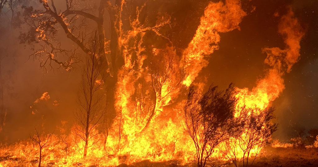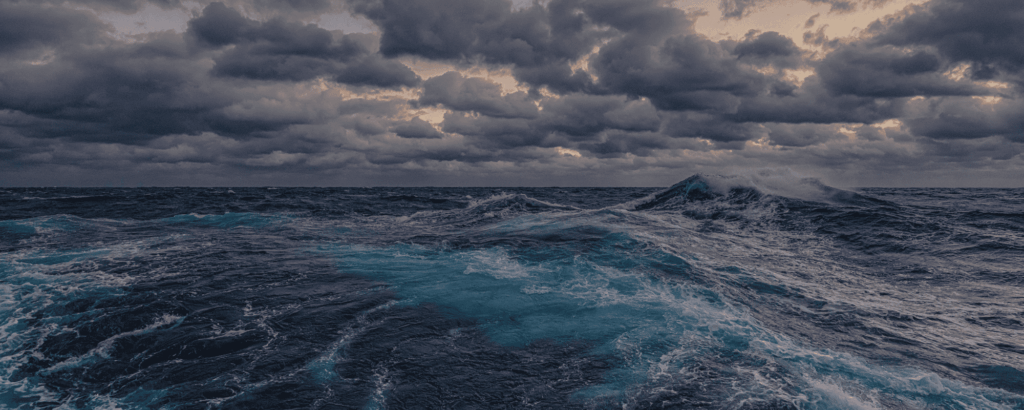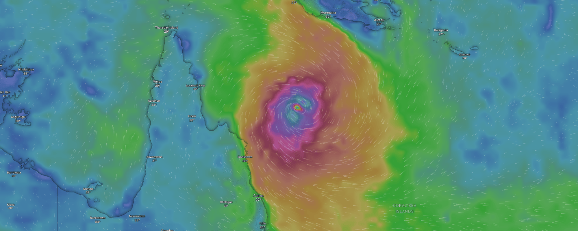
Communities across northern Australia are bracing for the destructive force of winds, rain and storm surges from Tropical Cyclone Narelle. As of Thursday (March 19), it had intensified to a category five system east of the Cape York Peninsula: supercharged by climate pollution which is driving record temperatures in the Coral Sea. TC Narelle is forecast to cross the Far North Queensland coast between Lockhart River and Cape Melville on Friday morning (March 20).
Winds of up to 260 kilometres per hour could batter the region, and many communities are also on flood watch with catchments already saturated.
The Bureau of Meteorology classifies tropical cyclones based on maximum mean wind speed. A category five cyclone packs the biggest punch – with widespread destruction of buildings and vegetation expected, maximum mean wind speeds greater than 200km/h, and typical strongest gusts likely to be greater than 279km/h.
Tropical cyclones have always been part of life for many people in northern Australia, but climate pollution is making them more intense and destructive. It is critical that we understand that such disasters are no longer simply “natural”.
Hotter oceans power more intense storms
Climate change means the world’s oceans are absorbing vast amounts of excess heat, with devastating consequences. Water has a much higher heat capacity than air. The ocean’s immense capacity to absorb and store heat means that the vast majority of the excess heat in our climate system from climate pollution – around 93 percent – has been absorbed by the ocean.
The observed rate of ocean warming has increased dramatically in recent decades, more than doubling since the mid-1990s. Today, we are putting more than 10 zetajoules of extra heat energy into the ocean each year. That’s equivalent to the energy of five Hiroshima bomb explosions every second. Put another way, it’s enough energy to boil all the water in Sydney Harbour every eight minutes.
Ocean temperatures around much of Australia’s coast have been unusually warm. This helps cyclones form, as they typically need water temperatures of 26.5°C or more. The Coral Sea, where Cyclone Narelle formed, just recorded its:
- hottest Dec on record (Dec 2025),
- hottest Feb on record (Feb 2026),
- hottest summer on record (2025-26), and
- hottest calendar year on record (2025).
Given February is typically the hottest month of the year for the Coral Sea (averaging 28.8°C from 1991-2020 and now at an all-time record of 29.5°C, the intensity of this cyclone could be severe as it makes landfall.
Tropical cyclones are dumping more rain
Rising ocean temperatures mean more water evaporates off the sea surface, so cyclones can absorb more moisture and dump more rain as they form and reach land. It has long been established that for every 1°C of global warming, rainfall intensity increases by 7%.
Newer research is showing the rate may actually be double this or even higher as the process of condensation releases heat that can also trigger more rain.
For Australia, the latest research shows for every degree of global warming we will experience about 7–28% more rain for hourly or shorter duration extreme rainfall events, and 2–15% more rain for daily or longer duration extreme rainfall events.
Climate pollution is rewriting the rulebook on weather
Across Australia this summer, communities were flung from one extreme weather event to another. In north-west Queensland, record daily rainfall for December was followed by Tropical Cyclone Koji making landfall on January 11, bringing heavy rainfall to already saturated soils and hitting graziers hard. More than 100,000 head of livestock died or went missing.
Meanwhile, for six consecutive days in late January 2026, at least one place in Australia recorded a temperature of 49°C or higher, and extreme heat in southeastern Australia spread to southern parts of Queensland. These events are being fuelled by climate pollution, and they are becoming worse.
Large parts of inland Queensland received their average annual rainfall in just the first five weeks of this year. Parts of northern coastal Queensland were drenched by more than 200 millimetres of rain in less than 24 hours on 1-2 March 2026. While some areas of western Queensland recorded around 100 mm of rainfall in the week ending 2 March, adding to the already wet landscape.
More than half (60%) of the local government areas in Queensland have needed disaster recovery funding support since December 2025 (Department of Home Affairs 2026). By 30 December parts of northwest Queensland had recorded close to their total average annual rainfall in a week. Further rainfall from a tropical low in late January triggered evacuations in North Queensland in Einasleigh and along the Gilbert River (ABC 2026k). Some of the local government areas hit by flood waters are among Queensland’s most disaster impacted – including Barcoo, Carpentaria and Cook (ELCA and Climate Council 2024; Department of Home Affairs 2026)
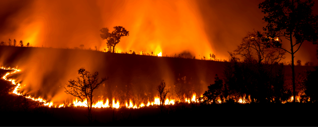
Queensland is in the eye of climate pollution-fuelled storms
Queensland may be known as the Sunshine State, but it’s also Australia’s ground zero when it comes to climate fuelled disasters. With parts of the state in the tropics, Queensland has long been prone to destructive cyclones, storms and flooding. Climate pollution from the burning of coal, oil and gas is making events like Tropical Cyclone Narelle more intense and destructive.
Cyclone Yasi in 2011 and Cyclone Debbie in 2017 remain two of Queensland’s – and our country’s – most costly disasters. And last year, four million Australians living in Australia’s third largest city of Brisbane and heavily populated regions nearby were in the firing line of Tropical Cyclone Alfred. Understandably, the anxiety surrounding its landfall was high as the storm hit a lot further south than Australia’s east coast communities and emergency services are used to; moving slowly and erratically as it tracked towards Brisbane and drawing up energy from a hot and moist atmosphere and ocean as it crept closer.
In the end, the Category 2 tropical cyclone was rapidly downgraded upon making landfall. But its slow movement transformed Tropical Cyclone Alfred into a prolonged and dangerous rain and flooding event, with communities impacted as far north as Hervey Bay and as far south as Coffs Harbour more than 600km away.
In December 2023, Tropical Cyclone Jasper brought record-shattering rainfall, landslides, floods and destruction to Cairns and surrounding areas, damaging at least 1,863 properties and destroying 20 of them with an estimated $357 million in insurance losses.
From Christmas Eve 2023 through to 3 January 2024, communities in South East Queensland experienced severe storms and rainfall, leading to flash flooding, hail, landslides and widespread power outages, resulting in almost 100,000 insurance claims totalling $1.33 billion in damages.
In January 2024, ex-Tropical Cyclone Kirrily led to heavy rainfall and flooding across Queensland. In the aftermath, almost half (41%) of Queensland’s local government areas required disaster recovery funding.
Accelerating climate risk in Australia
The Australian Government’s national climate risk assessment paints a bleak picture of the worst risks that Australia faces, from extreme heat, to flooding and storms, if we don’t do more to cut climate pollution steeply and rapidly. The assessment warns that: “Communities will be slammed in many, severe ways… [and] it is likely we will experience more compounding, cascading and concurrent hazards”, like heavy flooding after a tropical cyclone.
Without far deeper and faster cuts to climate pollution, tropical cyclones will become much more powerful and destructive. Every new coal and gas project approval locks in more pollution and increases the risk of more frequent and damaging disasters.
Image Source: Windy.com